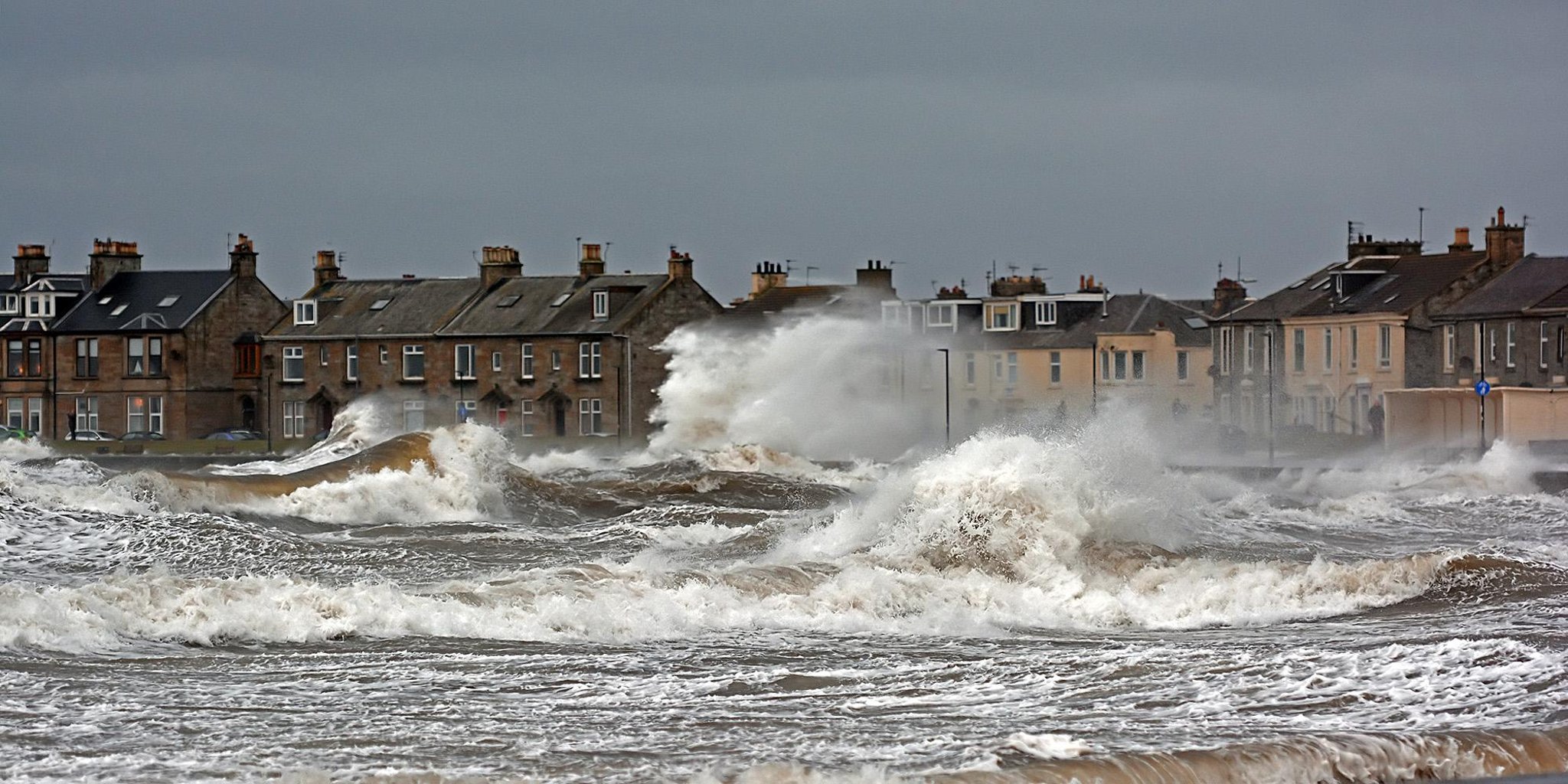


Article by: Hari Yellina
The rain-bearing La Nina is expected to linger for a little longer, according to the BOM’s weekly climate driver bulletin. The La Nina phenomenon peaked in January and has been gradually fading, but it currently appears that the climatic driver will last until late September. For those living in already saturated catchments, this is bad news. The natural cycle for a La Nina, according to Andrew Watkins, head of long-range forecasts at the Bureau of Meteorology, is for it to break down throughout the autumn. Until the trade winds picked up a few weeks ago, everything seemed to be on track this year.
“That intensification of the trade winds has created a chilling of the surface in the tropical Pacific, and as a result, some of the numbers have returned to La Nina territory,” he explained. The announcement comes as the Madden Julian Oscillation (MJO), a tropical climate driver, swings around to deliver another tropical push in the coming weeks. Most models, according to Dr. Watkins, anticipate that a burst of the MJO will move over the region north of Australia in the next month or two, while it may diminish a little. “This could result in wetter conditions in the future, increasing the likelihood of tropical cyclone and tropical low formation,” he warned. “Overall, the outlook remains positive.”
The north has the best chance of seeing above-average rainfall, but Dr. Watkins warned that areas along the east coast might get further heavy rain in the coming weeks, adding to their already saturated catchments. “Unfortunately, we are not approaching the dry season that we would all like to see right now,” he remarked. “We won’t be able to unwind just yet.”
It’s unclear why the trade winds have strengthened, according to Dr. Watkins. “It could be linked to the Madden-Julian Oscillation, which is located in the western Indian Ocean,” he speculated. Agus Santoso of the University of Fresh South Wales, a climate scientist, also mentioned new study that suggested the Atlantic Ocean could be playing a role. “It appears that when the Atlantic is warmer than average, La Nina conditions are more likely,” he said. He confirms that the Atlantic Ocean is currently warmer than average.